Anthropomass
2021
Spatial Computing · Crowd Simulation · Speculative Archive
Overview
Anthropomass is a speculative experiment in spatial memory. Developed as a joint thesis project during the COVID-19 restrictions, it investigates how ephemeral events, like protests, can be captured and preserved as permanent digital structures.
Using computational design, the project translates the chaotic dynamics of a crowd into a static, volumetric "fossil," asking: How can we archive the physical weight of collective presence?
Methodology: The Simulation
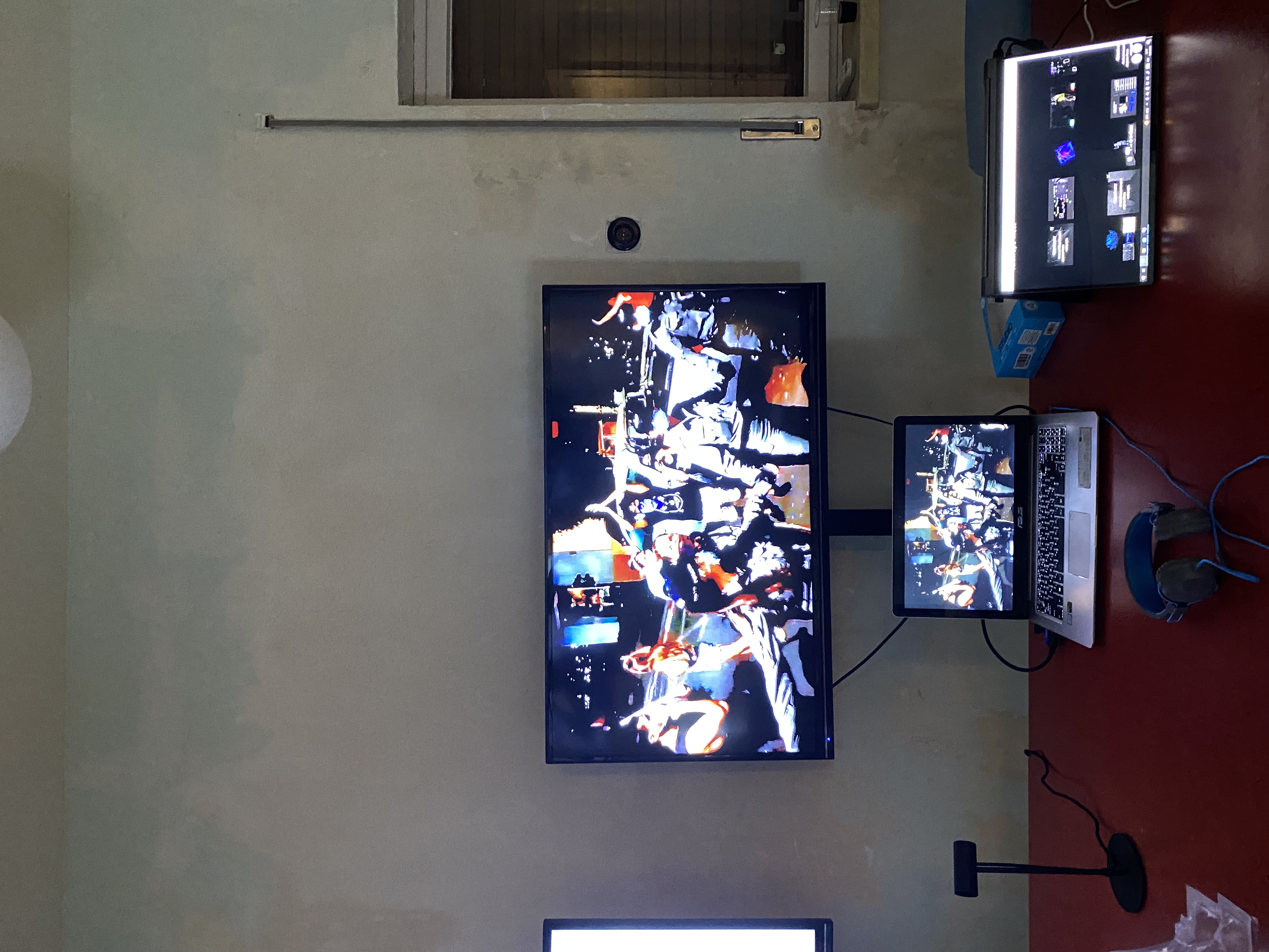
The project translates 2D aerial footage into 3D spatial data through a custom simulation loop:
1. Simulation (Agent-Based Model)
We built a simulation in Grasshopper where autonomous agents mimicked crowd behaviors within a defined urban boundary.
2. Calibration & Baking
The system compared the simulation to real aerial photos of protests. When the agents' pattern matched the photograph (via image analysis), the system "baked" that moment as a layer of points.
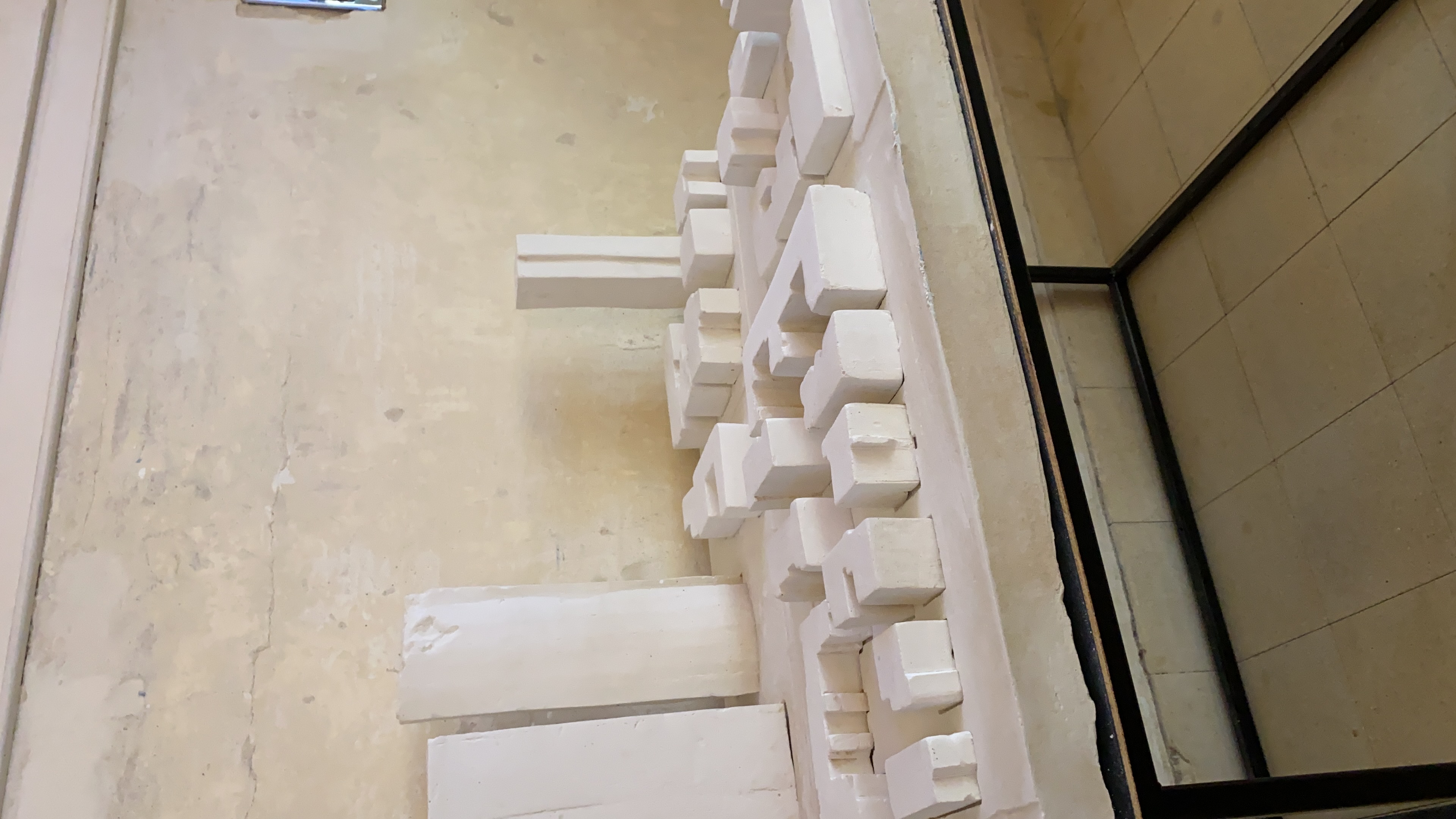
3. The Artifact
By stacking these layers over time, a 3D form emerged, a digital sculpture generated entirely by the history of movement in that space.
The Method
The project translates 2D aerial footage into 3D spatial data through a custom simulation loop:
1. Simulation (Agent-Based Model)
We built a simulation in Grasshopper where autonomous agents mimicked crowd behaviors within a defined urban boundary.
2. Calibration & Baking
The system compared the simulation to real aerial photos of protests. When the agents' pattern matched the photograph (via image analysis), the system "baked" that moment as a layer of points.
3. The Artifact
By stacking these layers over time, a 3D form emerged, a digital sculpture generated entirely by the history of movement in that space.
Process Documentation
PoseNet Movement Detection
Real-time body keypoint tracking
Point Cloud Representation
Accumulated movement as spatial data
Agent Simulation
Autonomous agent behavior modeling
Pattern Matching
Computer vision calibration
3D Volume Generation
Layered spatial accumulation
Spatial Analysis
Crowd density and movement patterns
Motion study
Motion capture
Sound scape generation
Audio composition derived from movement data
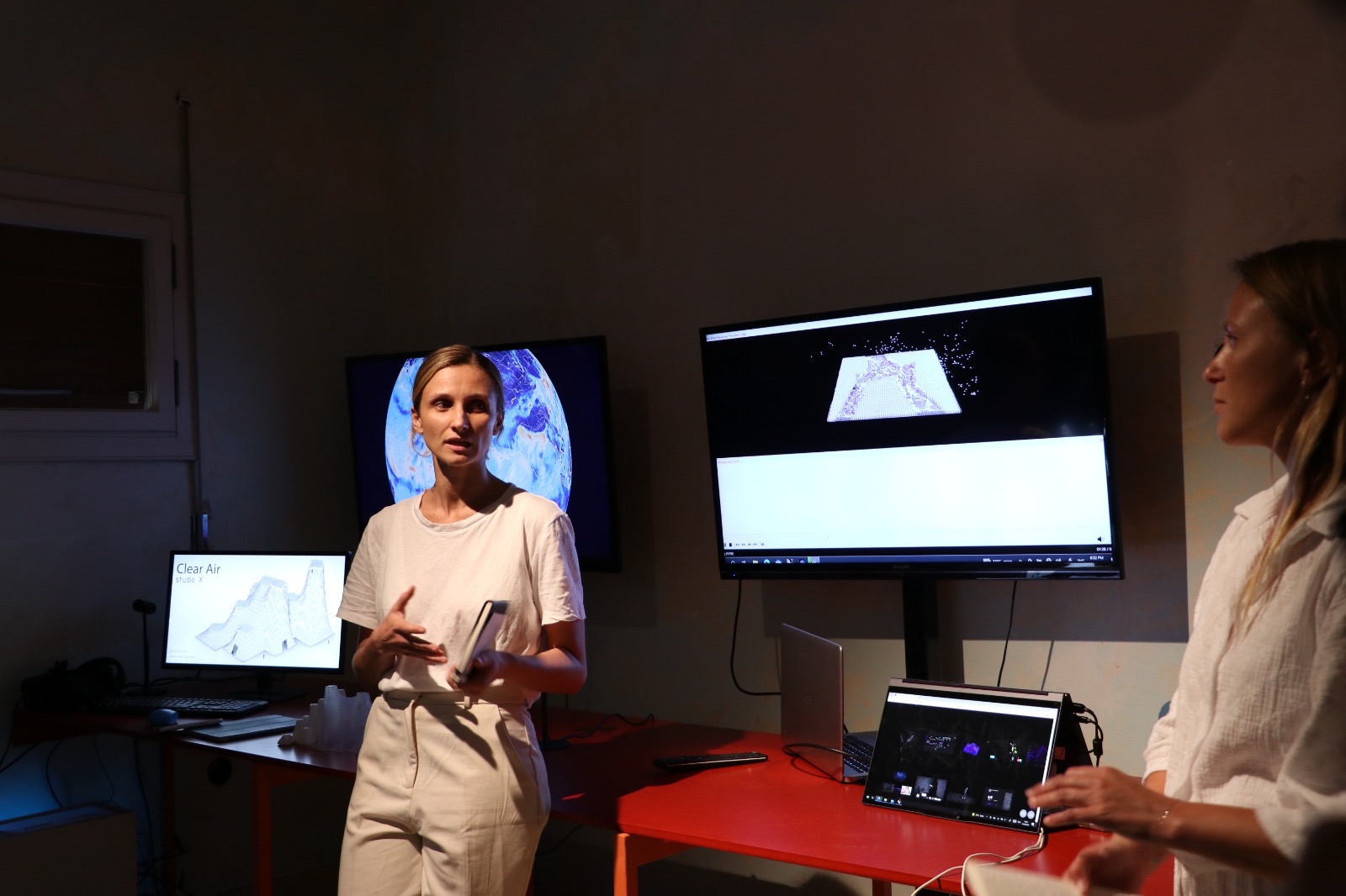
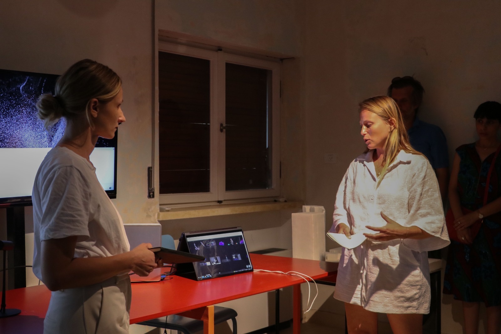
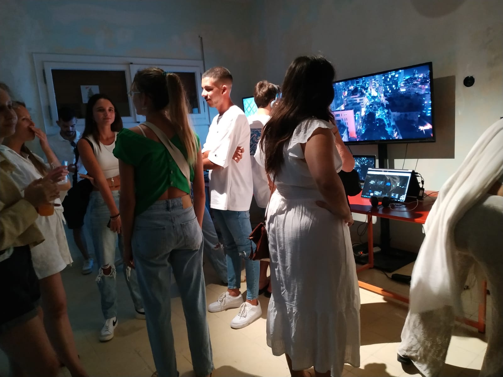
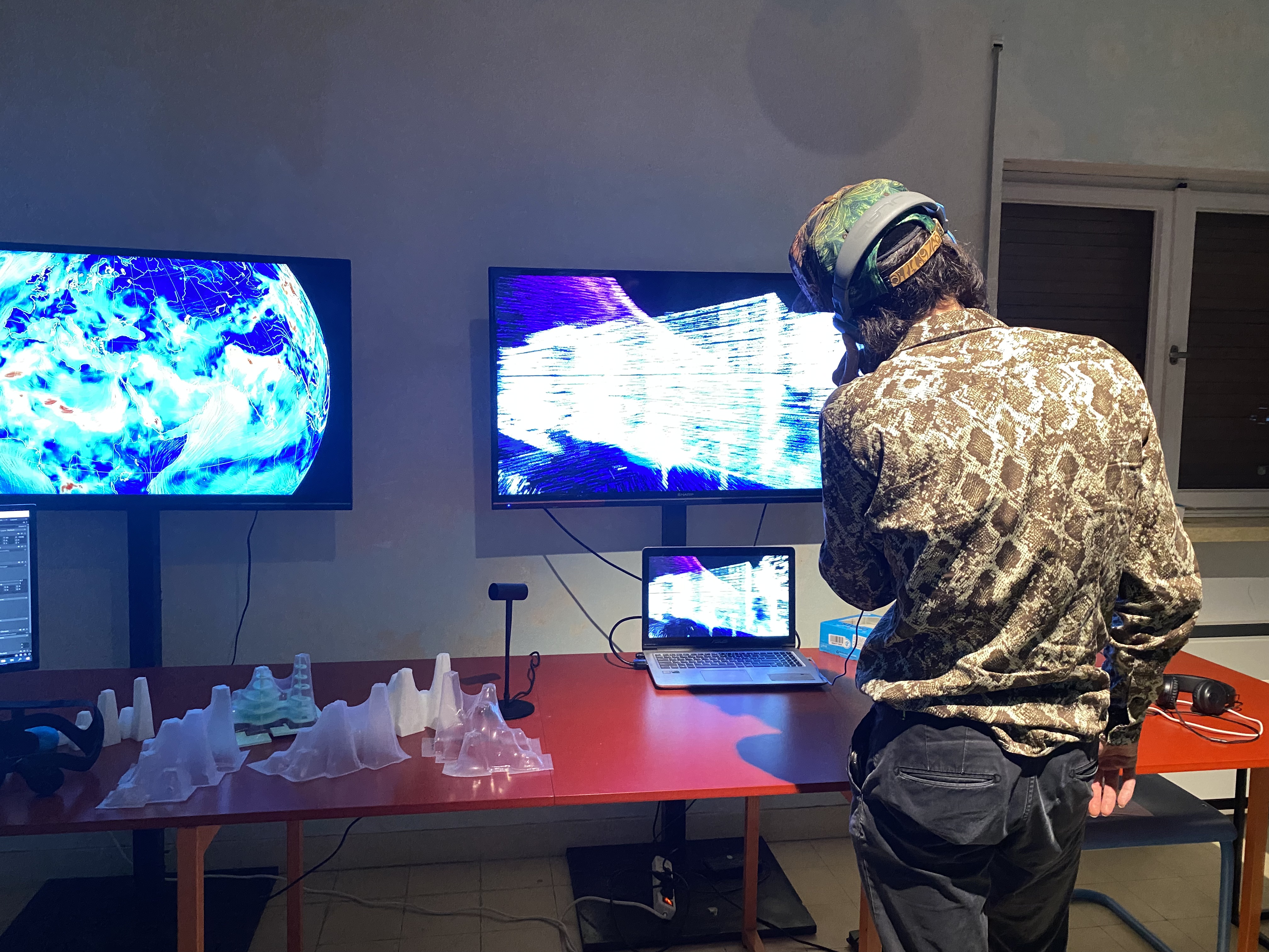
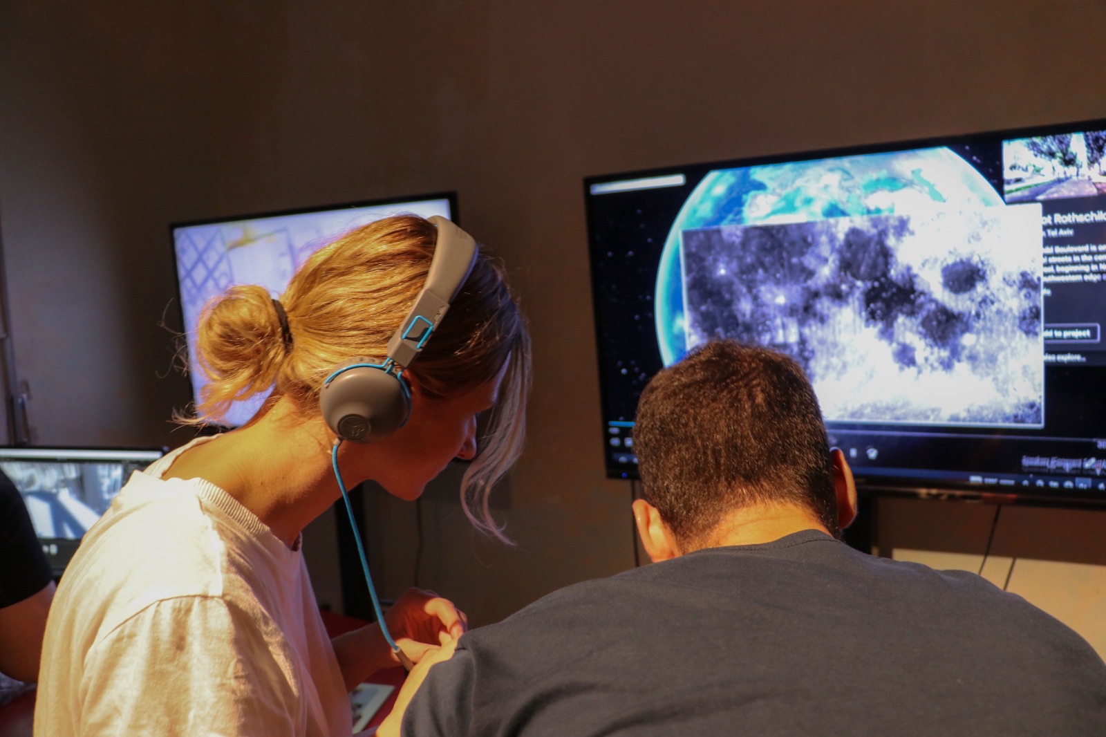
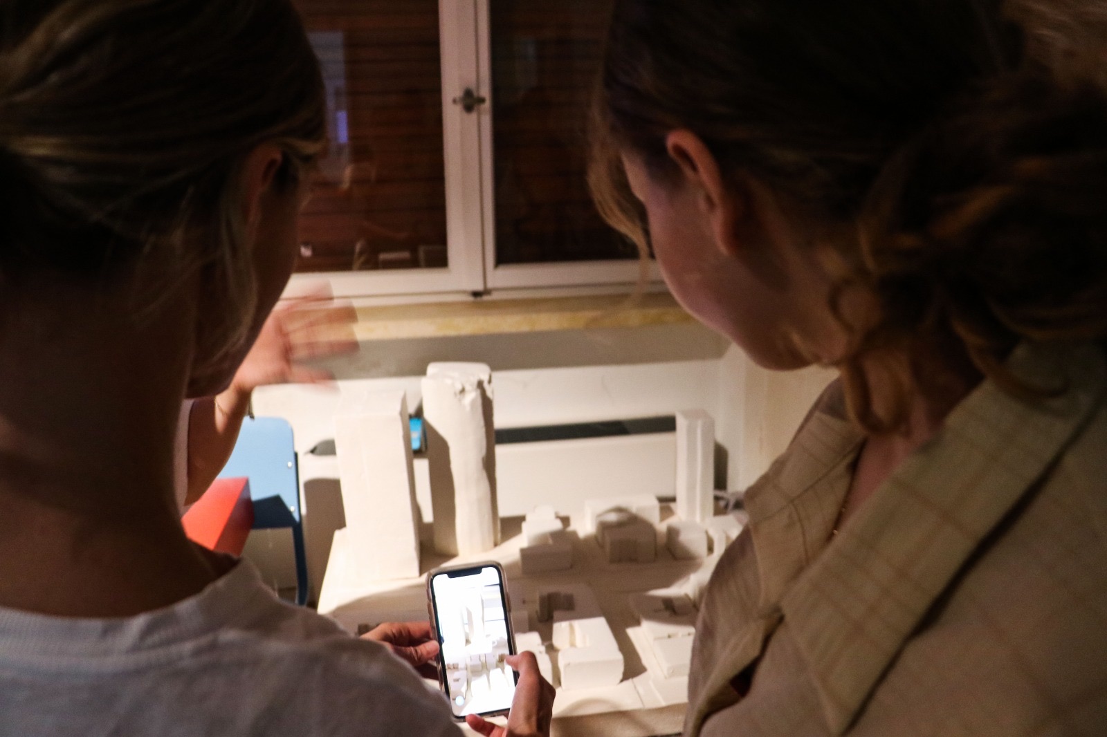
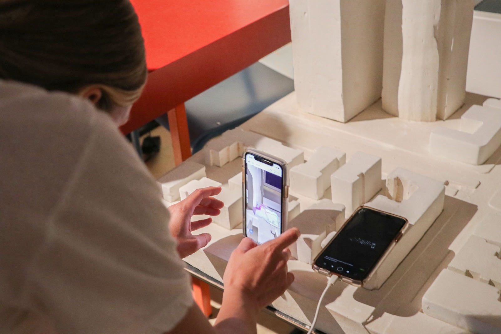
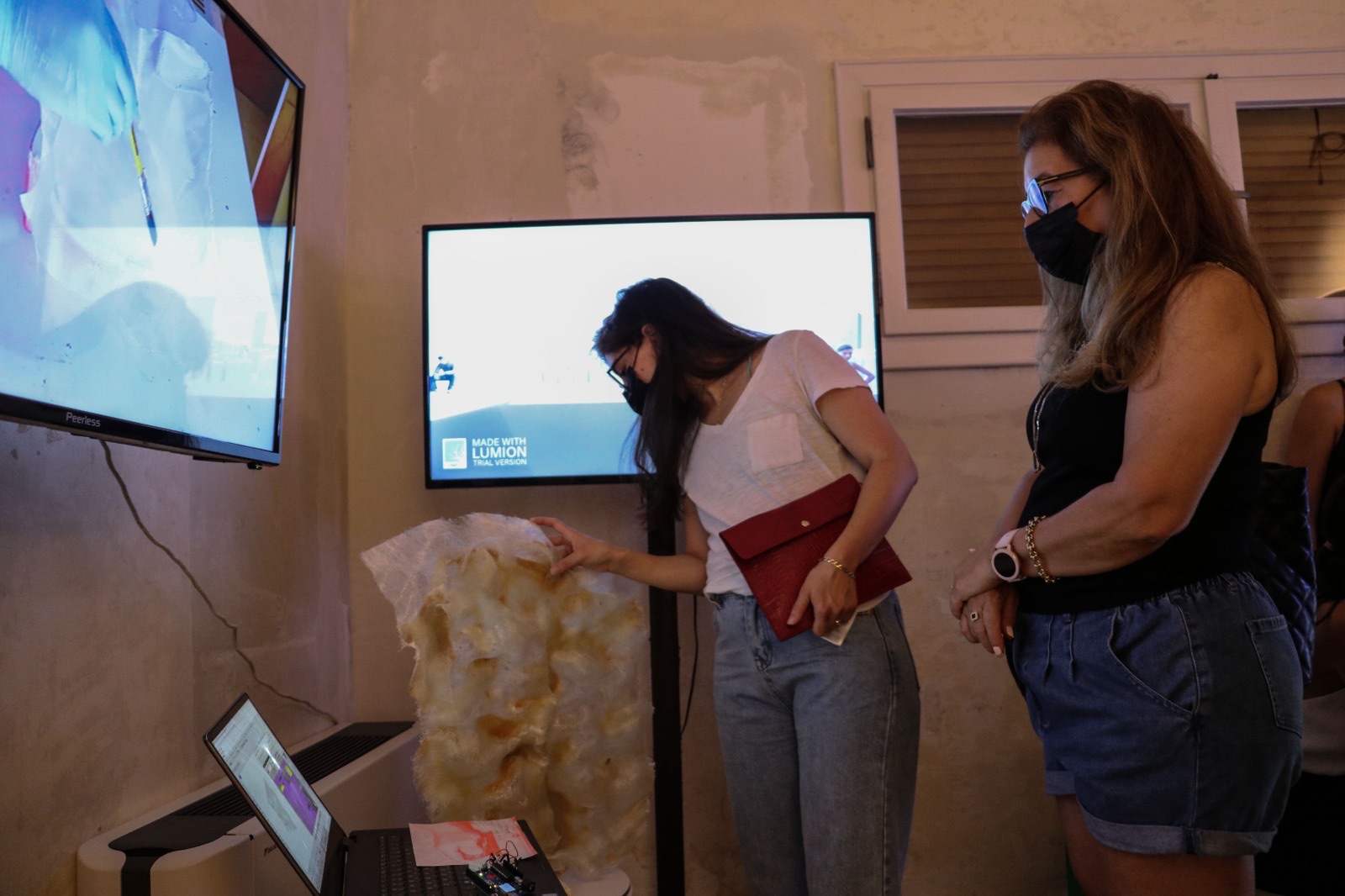
Exhibition: Liebling Haus
Presented as part of the final exhibition at Liebling Haus – The White City Center, Tel Aviv (Summer 2021). The installation invited visitors to navigate the "fossilized" protests as a virtual environment, treating the site of demonstration as a heritage site.
← Scroll horizontally to explore →
Credits
Created by: Olga Stadnuk & Alex Mogilevski-Dictwald
Original Soundscapes: Yali Blank
Narrator Voice: Shelly Yosha
Photographs: Shira Shalom
Advisor: Nati Alfassy
Azrieli Award: Excellence Award, Shenkar College (2021)
Exhibited: Liebling Haus (2021), Shenkar Final Exhibition (2021)